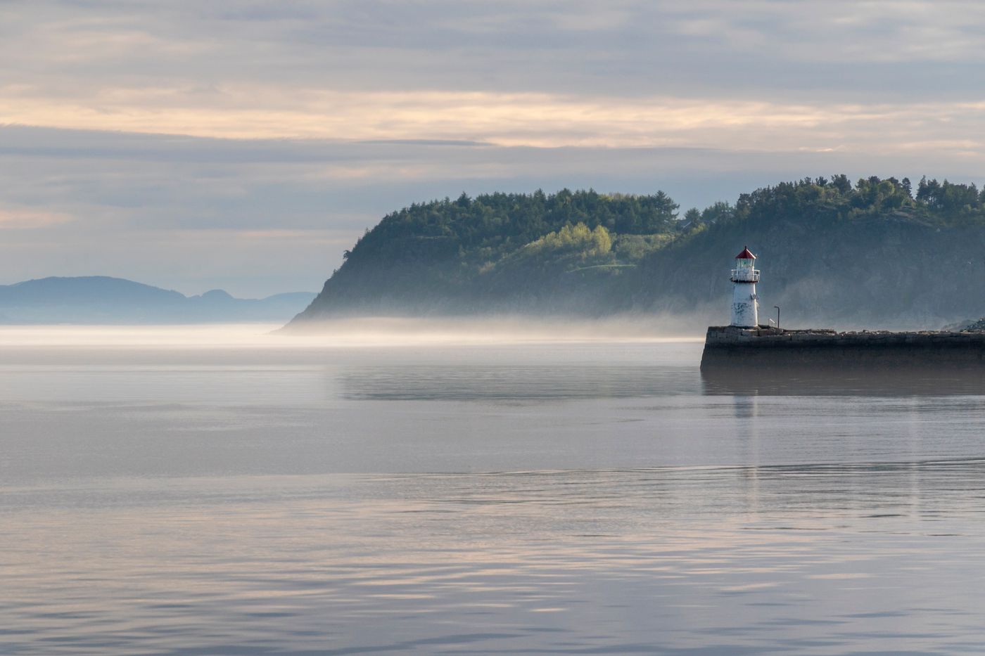
The harbour master at Greyport keeps two charts on his wall: one from 1987, thick with pencil marks, and one from last year, printed fresh and already annotated in three colours of ink. "The water moved," he says, tapping the newer one. "So we moved with it." That sentence stayed with me for the whole reporting trip.
Along three hundred miles of coastline, fishing towns, reserve managers, and weekend sailors are renegotiating their shared waters. Marine reserves are expanding, shipping lanes are shifting, and eelgrass meadows — unglamorous, essential — are being replanted by volunteers in waders. The future of the ocean, it turns out, is being charted one harbour meeting at a time.
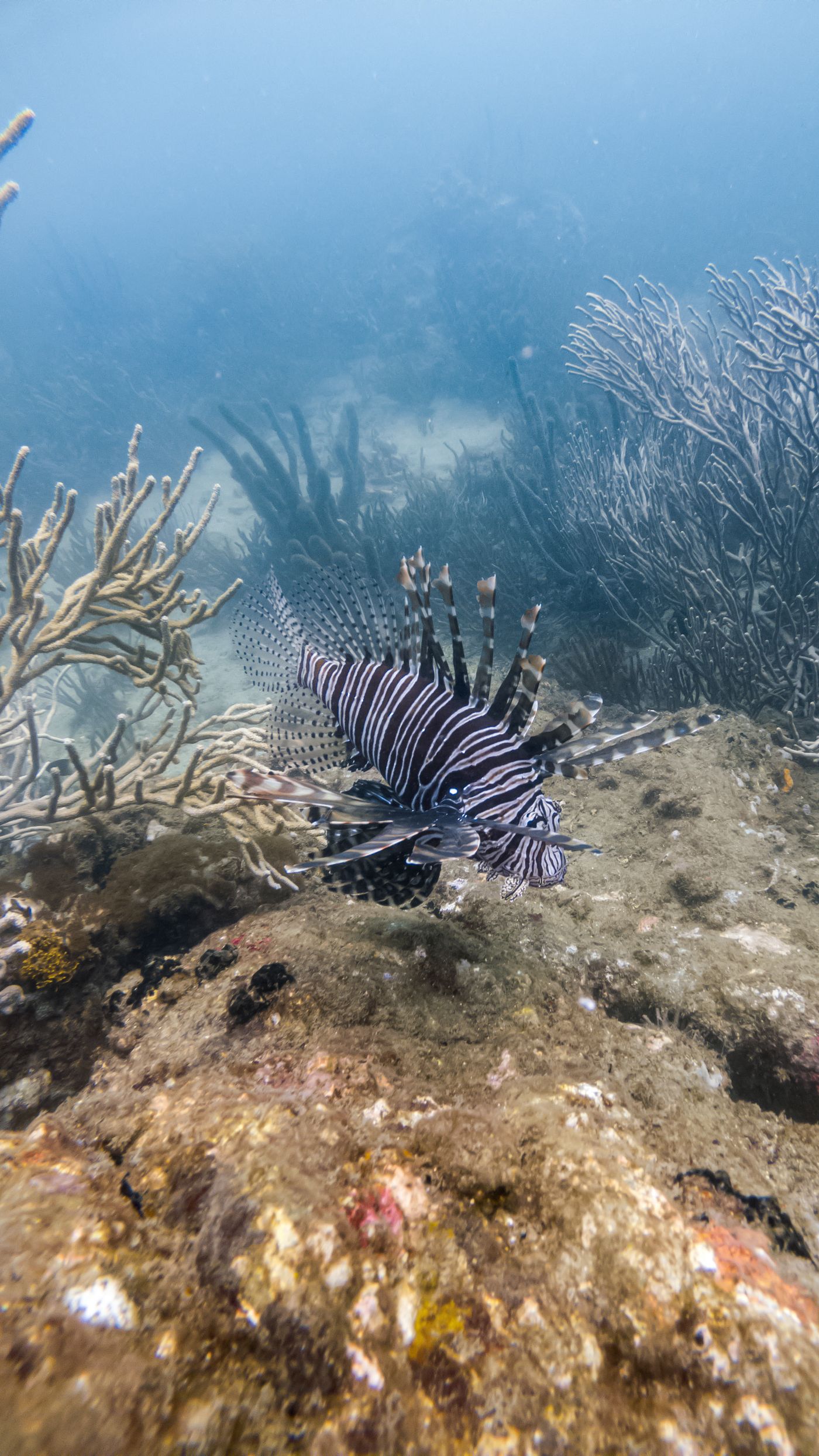
Reserves that work
The science is quietly encouraging. In the five oldest reserves on this coast, fish biomass has roughly tripled, and the spillover now supports the boats fishing just outside the lines. The reserves that succeed share three traits: boundaries simple enough to draw from memory, monitoring the community trusts, and a warden who actually lives nearby.
Technology helps at the margins — acoustic tags, drone surveys, an app where anglers log catches — but every manager I met credited people before instruments. "A reserve is a promise between neighbours," one told me. "The buoys just mark where the promise floats."
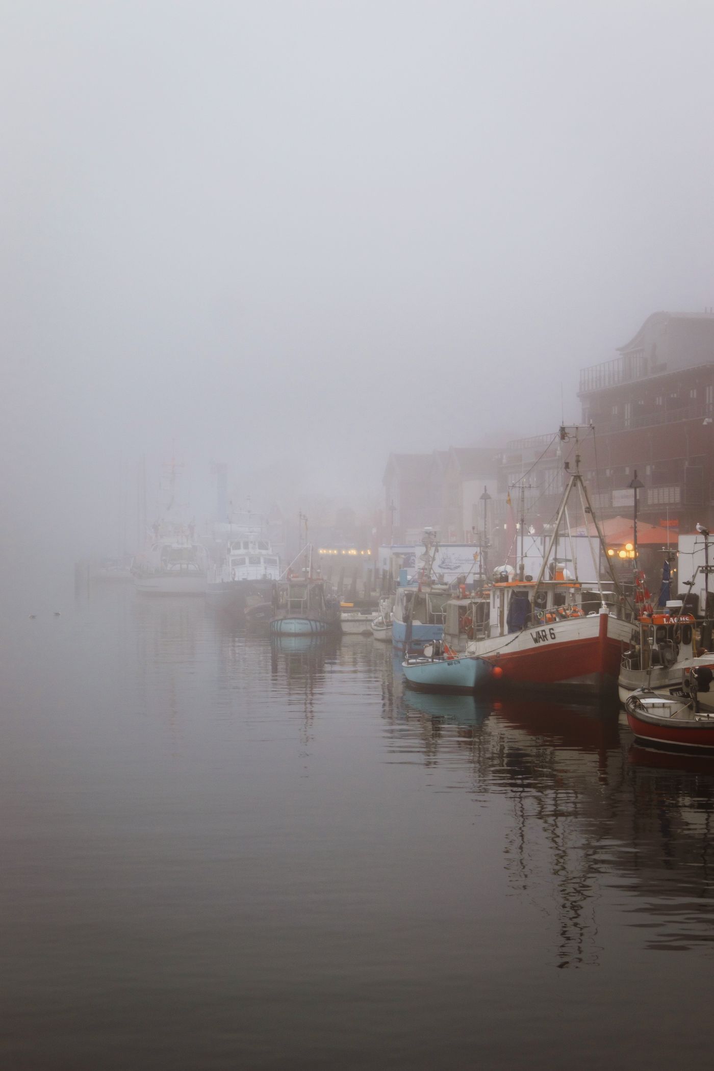
What the rest of us can do
You do not need a boat to matter here. Eat the abundant species, skip the struggling ones, and ask your fishmonger where dinner swam — the question alone changes what gets stocked. Join one shoreline cleanup a year; you will learn more marine biology in three hours than in thirty documentaries.
The ocean's future will not be decided in a single treaty but in ten thousand small acts of attention — a town moving its moorings, a fleet honouring a line, a reader choosing the mackerel. The water moved, so we move with it. Chart accordingly.